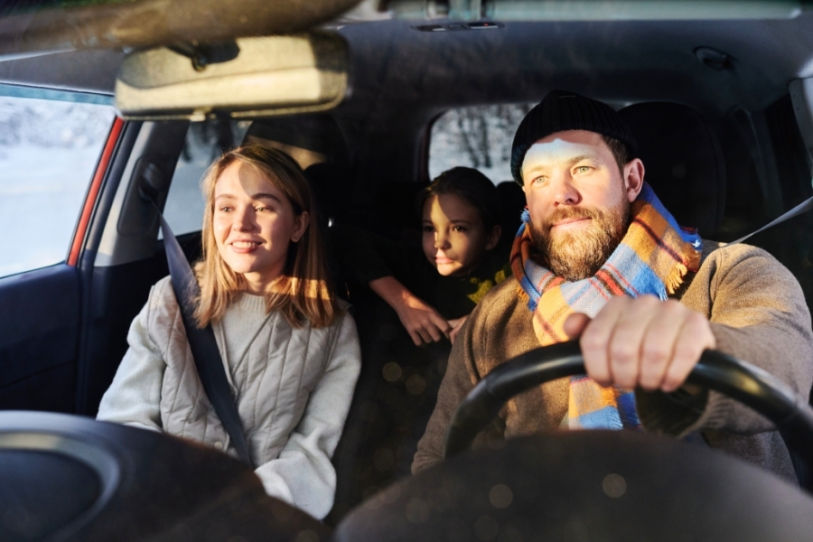
Driving from Vancouver to Whistler gives you one of the most scenic road trips in British Columbia. Highway 99 takes you beside Howe Sound, past forested slopes, and into the Coast Mountains. The route gives you plenty of reasons to stop before you even reach Whistler. You can rent a car and start from Vancouver International Airport or downtown, depending on your plans. Our guide covers the route, scenic stops, winter driving details, and what to do once you reach Whistler.
Before joining Highway 99, you will need to navigate out of Vancouver and towards the North Shore. The roads differ from the airport and downtown, but both routes eventually meet near West Vancouver. From there, Highway 99 becomes the main road towards Squamish and Whistler.
Vancouver International Airport has rental desks on the ground floor of the parkade, a short walk from the main terminal. Before leaving, photograph any existing damage and check the fuel or battery level. Test the lights, wipers, screen wash, brakes, and navigation system.
Check the tyres carefully before starting your trip. Signed routes require suitable winter tyres during regulated periods. British Columbia accepts M+S tyres and tyres with the mountain-and-snowflake symbol where winter tyres are required. The minimum winter tread depth is 3.5 millimetres. Confirm the correct fuel type and read the rental company’s emergency contact instructions.
When you rent a car in Vancouver, compare the available car types with your passenger, luggage, and seasonal needs. An SUV can give you more luggage space for ski gear or winter clothing.
From the airport, follow Grant McConachie Way towards Arthur Laing Bridge. Continue on SW Marine Drive and Granville Street towards central Vancouver. Then use Seymour Street and West Georgia Street before crossing Stanley Park and the Lions Gate Bridge.
Starting from the airport makes the drive slightly longer. Whistler is about 137 kilometres from the airport and around 120 kilometres from central Vancouver.
Central Vancouver has several rental locations near major hotels and commercial areas. Your route heads towards West Georgia Street and Stanley Park. Continue across the Lions Gate Bridge towards West Vancouver.
After the bridge, take the West Vancouver exit and join Marine Drive. Turn onto Taylor Way, then join Highway 1 westbound. Near Horseshoe Bay, take Highway 99 north towards Squamish and Whistler.
Plan for extra city travel time around West Georgia Street and Stanley Park. Traffic can build where drivers merge towards the Lions Gate Bridge. Starting downtown removes the airport section, which keeps your route more direct.
You can book your Vancouver car rental with Final Rentals and choose from a selection of cars and SUVs. Unlimited mileage gives you more freedom to enjoy scenic stops along the Vancouver to Whistler route, while ferry travel is also permitted if your wider trip includes a crossing.
Highway 99 takes you from Vancouver through Squamish and on to Whistler. The 120-kilometre drive usually takes around 2 hours in good conditions, before any sightseeing stops. The first main stretch follows Howe Sound through Horseshoe Bay, Lions Bay, Porteau Cove, and Britannia Beach.
Squamish is roughly halfway between downtown Vancouver and Whistler. North of Squamish, you drive farther into the Coast Mountains. Gradients change, and temperatures can drop as you reach higher ground.
The best scenic stops are beside Highway 99 or need only a short diversion. Parking, access, walking distance, and timing vary between locations. Never stop on the highway shoulder for photographs. Use marked parking areas and official viewpoints instead.
Porteau Cove is about 38 kilometres north of Vancouver and around 20 kilometres south of Squamish. The park covers a narrow stretch of shoreline along Howe Sound, making it an easy first nature stop. You get wide water and mountain views without taking a long diversion. There is parking, including an upper area near Highway 99.
Britannia Beach is around 50 kilometres north of Vancouver and about 10 minutes south of Squamish. Its main attraction is a historic mining museum covering the area’s industrial past. You can explore mining displays and take an underground train tour. The settlement also gives you Howe Sound views, which differ from the mountain scenery farther north.
The museum has a café, toilets, and a large visitor parking area. Free parking is available for visitors. Britannia Beach is a useful longer stop when you want food, facilities, and an indoor attraction.
Shannon Falls Provincial Park is about 58 kilometres north of Vancouver and 2 kilometres south of Squamish. A 350-metre trail follows Shannon Creek through the forest towards the waterfall viewpoint. The waterfall rises 335 metres above Highway 99. Use only designated parking areas and avoid signed no-parking sections. Stay within marked viewing areas and away from creek edges.
Squamish is roughly halfway between downtown Vancouver and Whistler. You are around 60 kilometres from Whistler when you reach the town. A mountain gondola attraction is just south of central Squamish. Its trails and viewpoints look over Howe Sound and nearby peaks. You can also use Squamish to check the latest weather before continuing north.
Around 19 kilometres north of Squamish, Tantalus Lookout gives you views towards the Tantalus Range. Use the designated viewpoint parking instead of slowing unexpectedly on Highway 99.
Brandywine Falls is around 11 kilometres south of Whistler beside Highway 99. It is one of the final major stops on the Vancouver to Whistler route.
The park protects a 70-metre waterfall above a volcanic landscape. Viewpoints also look towards Daisy Lake and the surrounding mountains. From the parking area, the main walk takes 10 to 20 minutes each way.
Vehicle access is seasonal. The park gate closes during the off-season, so drivers cannot use the main parking area. Winter trails are not maintained, and parking beside the highway is unsafe. Illegally parked cars can be towed, so check current park advisories before adding this stop.

Once you reach Whistler, parking is much simpler because the centre is easy to explore on foot. The village, lifts, trails, and lakes sit close together, so you can park once and walk between many central attractions.

Whistler Village is a pedestrian resort centre at the base of Whistler and Blackcomb Mountains. You can explore most central areas on foot. Follow the Village Stroll through public squares, shops, dining areas, and mountain access points. The route reaches Whistler Olympic Plaza in Village North.
The surrounding streets have shops, cafés, restaurants, galleries, and outdoor stores. You can also reach the main ski lifts from the village. Use designated public parking and check current charges before leaving your car.
The gondola between Whistler and Blackcomb Mountains travels 4.4 kilometres between the two mountain areas. The crossing takes about 11 minutes and offers great views across Fitzsimmons Creek.
You can combine the ride with alpine hiking or sightseeing when suitable trails are open. Summer access includes a large network of mountain trails. Conditions at higher elevations can differ from those in Whistler Village. Bring extra layers even when the valley is warm. Operating dates change through the seasons, so check the current mountain schedule before visiting.
Lost Lake is close to Whistler Village and offers walking, cycling, swimming, and hiking in suitable seasons. Its surrounding trail network changes for Nordic use during winter. You can reach many outdoor areas through the paved Valley Trail network. More than 50 kilometres of trail link neighbourhoods, parks, and resort facilities.
For Alta Lake, visit Lakeside Park or Rainbow Park. Both have waterside access, while Rainbow Park also has beach and swimming areas. Green Lake has public access points, including a boat launch and dock. Green Lake Park also has picnic facilities beside the shoreline.
During warmer months, use designated swimming areas at places such as Lost Lake and Alta Lake parks. Follow local water notices before entering the water. Parking rules around Whistler parks can change by season. Walking, cycling, public transport, or park shuttles may be simpler during busy summer periods.
The Vancouver to Whistler road trip is more than a direct drive between two destinations. The route changes from coastal scenery to higher mountain terrain as you travel north. Squamish also makes a useful midpoint for checking weather and road conditions. Plan your stops around daylight, seasonal access, and official parking areas. This approach makes Highway 99 part of the experience, rather than simply the road to Whistler.
Rent a car in Vancouver with Final Rentals Canada to plan this mountain route with clear insurance inclusions. Third Party Liability is included, while eligible international travellers also receive Collision Damage Waiver and Theft Protection. Book and manage your car rental at any time. Download the Final Rentals app on Google Play and the App Store.
Driving from Vancouver to Whistler usually takes about 2 hours without long stops. The route covers roughly 120 kilometres along Highway 99. Traffic, weather, roadworks, and winter conditions can increase the journey time. If you stop at viewpoints, parks, or Squamish, your full travel time will be longer. Check current road conditions before leaving and again after longer stops.
The route uses a paved mountain highway with marked lanes, changing gradients, bends, and variable weather. Most visitors can drive it safely with normal care. You should check the provincial road conditions service before leaving. Reduce your speed when visibility, rain, snow, or traffic changes. Give other drivers enough space, especially on steeper sections and around tighter bends.
You must follow winter tyre signs on designated British Columbia highways during regulated periods. Suitable tyres include qualifying M+S or mountain-and-snowflake types. Check the tyre markings before leaving the rental location. The qualifying winter tread depth is at least 3.5 millimetres. The weather can change between Vancouver and higher mountain sections, so check conditions before you start.